What Balad Does and Who It’s For
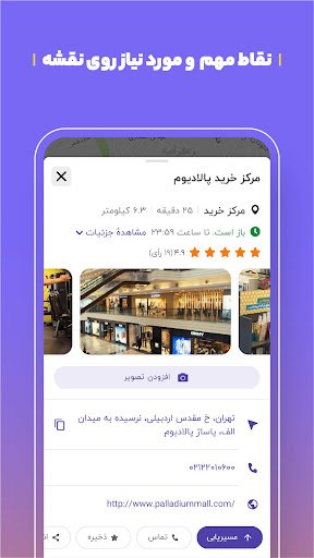
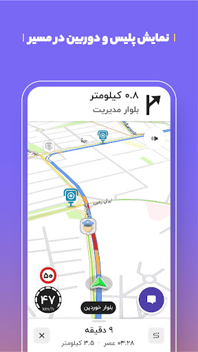
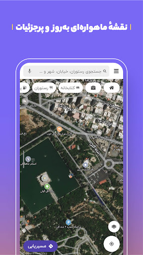
Balad is a Persian-language maps and navigation app built specifically for Iran, where mainstream options like Google Maps have limited functionality. It offers voice-guided turn-by-turn navigation, a searchable database of over a million public locations (gas stations, restaurants, banks, government offices), live traffic and speed camera alerts, metro schedules, and combined public transit routing using bus, metro, and taxi. It’s aimed squarely at drivers, commuters, delivery riders, and taxi drivers who need reliable local navigation inside Iranian cities and beyond, since it also covers rural roads and small towns.
Where It Actually Delivers
The most consistent praise from users centers on public transportation routing. One reviewer called it ‘the only app that works in Iran that assists with public transportation,’ noting that Google Maps doesn’t offer this in the country. Another highlighted the crowdsourced data model, appreciating contributors who keep the map current, plus handy extras like live COVID vaccination info during the pandemic. For basic point-to-point navigation, users generally describe it as easy to use, fast, and straightforward for finding routes across Iran.
Where It Falls Apart in Daily Use
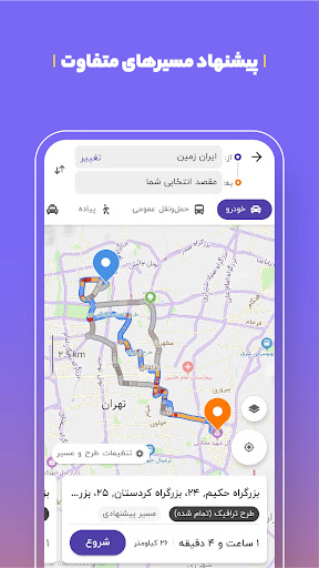
The complaints are specific and recurring. Multiple users flagged the public transit guide as unreliable, saying bus stations sometimes don’t exist where marked or lines have changed, causing wasted time or completely missed destinations. Business and address data can also be wrong — one user described visiting three different addresses for branches of the same restaurant and finding all three incorrect. Navigation voice prompts have been called out for announcing turns and exits too late, meaning drivers who aren’t watching the screen closely can miss them. Route calculation is another weak spot: one review said the app only shows a single route option and struggles to compute anything meaningful when traffic is present, while another noted it often defaults to primary roads only, ignoring alternate paths. There are also reports of general bugginess and slow GPS location detection.
The Voice Assistant and Extra Features
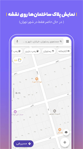
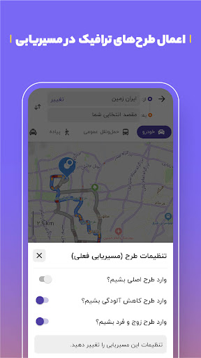
The street-name voice readout, designed to reduce how often drivers glance at their phone, is a nice concept on paper, but given the complaints about mistimed turn announcements, its real-world reliability seems inconsistent. Features like the odd-even traffic zone plan, air pollution overlay, and building number display for finding exact entrances are useful additions for local drivers and couriers, though they aren’t heavily discussed in user feedback, making it hard to judge their real-world accuracy independently.
Who Should Actually Download This
If you’re navigating daily life in Iran and need public transit routing, address search, or points of interest that Google Maps simply won’t provide, Balad is close to a necessity rather than an option. Drivers who mainly need simple point-to-point car navigation will likely find it serviceable most of the time. But go in expecting occasional wrong addresses, single-route limitations in heavy traffic, and transit directions that don’t always match reality. It’s a genuinely useful local tool with real gaps, not a polished, fully reliable substitute for global-standard mapping apps.